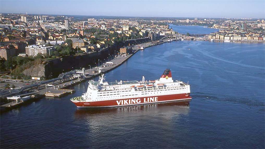
![]() Stockholm is known as the ‘Queen of the Baltic’ for the beauty of its surroundings, especially of the Stockholm Archipelago. It lies on the east coast of Sweden, where the waters of Lake Malaren flow into the Baltic Sea. There are over 30,000 islands in the archipelago, and many ancient fishing villages, coves and pretty beaches in a big area that stretches from Grisslehamn in the north to Landsort in the south. One has to be born and bred in this archipelago area to know all of its secret channels and waterways. Russian submarines infiltrated these secret channels during the Cold War, leading to incidents with the Swedish Navy. Ice is the major problem in winter with pack ice drifting down from the Gulf of Bothnia. The Swedish Maritime Administration employs five icebreakers, Ale, Atle, Frej, Oden and Ymer, in the Gulf of Bothnia and ports further south in order to keep open the four channels into Stockholm port for the slow moving convoys of tankers and general cargo ships.
Stockholm is known as the ‘Queen of the Baltic’ for the beauty of its surroundings, especially of the Stockholm Archipelago. It lies on the east coast of Sweden, where the waters of Lake Malaren flow into the Baltic Sea. There are over 30,000 islands in the archipelago, and many ancient fishing villages, coves and pretty beaches in a big area that stretches from Grisslehamn in the north to Landsort in the south. One has to be born and bred in this archipelago area to know all of its secret channels and waterways. Russian submarines infiltrated these secret channels during the Cold War, leading to incidents with the Swedish Navy. Ice is the major problem in winter with pack ice drifting down from the Gulf of Bothnia. The Swedish Maritime Administration employs five icebreakers, Ale, Atle, Frej, Oden and Ymer, in the Gulf of Bothnia and ports further south in order to keep open the four channels into Stockholm port for the slow moving convoys of tankers and general cargo ships.
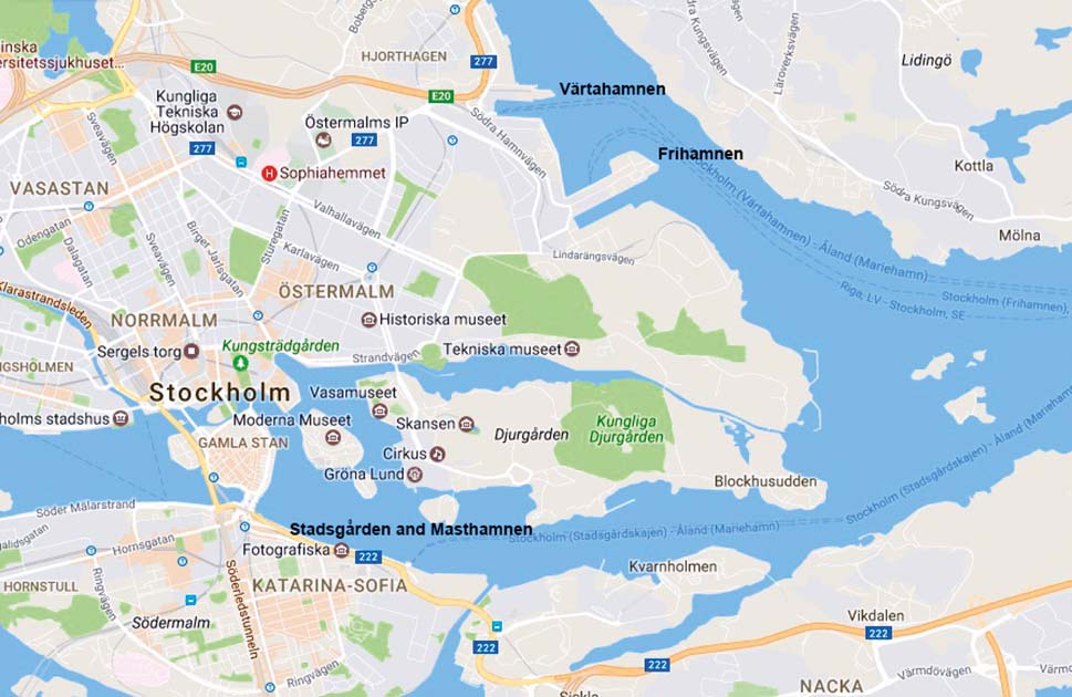
The four channels into the port are:-

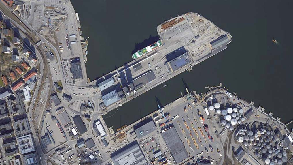
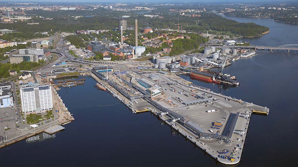
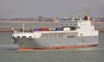
- The main channel of length 57 miles from the outer islands of Arholma, Soderarm and Furusund lead in a north east to south west direction between the mainland to starboard and the island of Ljustero to port when entering port. Several ‘dogleg’ turns are then required to negotiate around islands to reach the main port area in Saltsjon and Little Vartan of Varta Harbour, the latter having many oil wharves, the container terminal and the free harbour as well as the Tallinn Silja Line terminals for ferries from Finland and Estonia. This city centre terminal is only 15 hours sailing from Helsinki, 11 hours from Turku and 10 hours from Tallinn. The Viking Line ferries from Finland also have their own city centre ferry terminal at Stadsgarden on the Saltsjon. Varta Harbour leads off the Saltsjon in a northerly arm of Stockholm harbour.
- The island of Sandhamn due east from Stockholm provides the starting point of a second main channel of length 43 miles into the port. The passage cannot be used during the hours of darkness by tankers of greater than 10,000 dwt and other ships of more than 175 metres (575 feet) in length due to the high risk of running aground on the many small skerries and islands. At least one tug must accompany all ships of greater length during daylight hours.
- The Outer Landsort Channel from the southern Baltic Sea via Dalaro is 81 miles in length with a maximum permissible draft of twelve metres, length of 213 metres and moulded beam of 32.6 metres.
- The Inner Landsort Channel via the Sodertalje Canal and Lake Malaren has a length of 56 miles, and is navigable by vessels up to six metres in draft, but special permission may be given for deeper draft vessels depending on the water levels in Lake Malaren. The main link between the Baltic and Lake Malaren is at Hammerbyleden, which has a lock for vessels up to 360 feet in length and 49 feet moulded beam and six metres in draft.
Subscribe today to read the full article!
Simply click below to subscribe and not only read the full article instantly, but gain unparalleled access to the specialist magazine for shipping enthusiasts.

Comments
Sorry, comments are closed for this item